
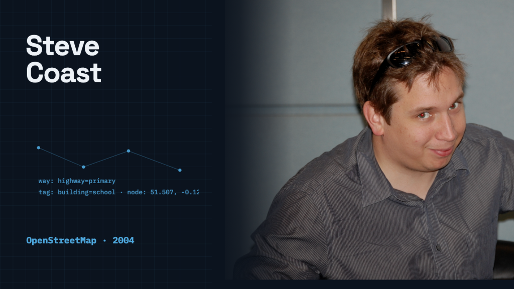
In June 2022, OpenStreetMap founder Steve Coast defended letting volunteers invent map tags while leaving consumers to interpret and clean the resulting data. The global map database lets any volunteer attach arbitrary key-value tags to any point, line, or polygon on Earth. There is no centrally enforced vocabulary of tag keys and values. A volunteer can tag a building as a simple footprint, or label it a school, or invent a new tag that no rendering engine has ever seen.
Coast wrote that critics had complained about the model for nearly two decades. He contrasted its open tags with more complicated geographic formats and argued that consumers could process the data for their own needs. OpenStreetMap permits unfamiliar tag keys and values, although its upload application programming interface (API) still enforces structural constraints.
To understand why Coast defended that compromise, consider who actually builds the map. Coast pointed out that OpenStreetMap’s primary contributors are unpaid volunteers wandering neighborhoods, tracing satellite imagery, and recording local landmarks. If contributing requires studying a two-hundred-page specification or debugging rejection errors from an unforgiving schema validator, casual mappers walk away. Coast’s argument was that simple data entry helped unpaid volunteers contribute.
The Primitive Core: Nodes, Ways, and Tags
At the center of OpenStreetMap are a few simple data primitives. Points on the surface of the Earth are recorded as nodes, each carrying a latitude and a longitude. A sequence of ordered nodes forms a way, which can represent a street, a railway line, or a river. When a way loops back and closes upon itself, it can represent an area, such as a park, a lake, or a building boundary. For complex geometries, such as polygons with interior holes or relational groups, the system provides relation structures.
Geometry alone, however, carries no intrinsic meaning. A closed loop of nodes is merely a shape on a coordinate grid. As official documentation from the Humanitarian OpenStreetMap Team and LearnOSM explains, tags provide the semantics that explain to a computer what that shape actually represents. A simple tag like building=yes marks a structure. If a contributor knows more, they can refine it with building=house or building=school. But nothing in the core ingestion protocol prevents someone from entering an unfamiliar key or misspelling an attribute.
The result is a repository that changes as the places it describes change. Towns change their administrative boundaries, street names evolve, and physical features defy neat categorization. In an anniversary essay reflecting on two decades of mapping, Coast recalled expecting Cuba to be largely unmapped in OpenStreetMap, then discovering roads, parks, and hospitals already recorded there.
The Bill Arrives Downstream
That contributor-first design left downstream consumers with substantial processing work, even though contributors and editors also check edits. When an organization extracts raw OpenStreetMap data to render a vector basemap, power navigation routing, or calculate travel distances, it cannot assume clean geometric topologies. Two adjacent street segments might not snap together cleanly. A waterway might run in the wrong directional sequence. Coast illustrated the problem with nodes in Finland that might link to nodes in Barbados.
Downstream consumers have had to build elaborate data-cleansing pipelines to transform raw exports into dependable products. A prominent example was the Daylight Map Distribution supported by Facebook. Daylight ingested the global OpenStreetMap dataset, applied automated quality and consistency checks, and filtered out malicious or incompatible edits before publishing checked datasets for production use. Daylight announced its sunset in May 2024 and continued publishing releases through November 2024. Coast had praised it as an example of cleaning data downstream without requiring everyone using OpenStreetMap to change their workflows.
Writing in Geoawesome, Susanne Schröder-Bergen described OpenStreetMap as a mapping community first, a geospatial database second, and something that can be turned into a map third. Coast’s related argument was that making editing harder would discourage volunteers.
Designing for Contributors Versus Consumers
The history of OpenStreetMap offers several concrete lessons for systems that rely on decentralized contributions:
Evaluate validation rules from the contributor’s side. Coast argued that making editing harder would reduce volunteer participation. A mandatory field or rejection error asks an unpaid mapper to do more work before an observation reaches the database. Weighing that burden against the quality check each rule provides helps maintain community engagement.
Clean interfaces can mask messy data models. Modern web editors like iD provide intuitive dropdowns and guided forms for beginners, while preserving the raw key-value flexibility underneath. The user interface guides good behavior without turning the underlying database into a rigid gatekeeper.
Separation of concerns protects the platform. Collecting geographic observations is an operational challenge; reconciling conflicting definitions is an analytical one. Pushing validation downstream allows different consumers—from pedestrian navigators to urban planners—to apply filters tailored to their own requirements.
A data model allocates work between contributors and consumers. OpenStreetMap lets a volunteer record a school with a tag; consumers then interpret that observation for their own maps.
Related stories
Sources
- Steve Coast, “In Defense of OpenStreetMap’s Data Model” (June 6, 2022)
- Steve Coast, “The Days Are Long but the Years Are Short: OpenStreetMap at 20” (August 9, 2024)
- LearnOSM, “OSM Data Overview” (September 5, 2016)
- Humanitarian OpenStreetMap Team / LearnOSM, “Tagging – iD editor” (June 28, 2019)
- Daylight Map Distribution, Project Overview and Release Archive
- Susanne Schröder-Bergen, “Google Maps and OpenStreetMap: The coexistence of two unequal siblings”, Geoawesome (June 12, 2024)
- Featured image: Lucamenini; Wikimedia Commons; CC BY-SA 3.0 (adapted from the original)
 SIGNAL TITANS

Leave a Reply