
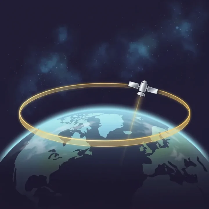
In October 1945, writer Arthur C. Clarke published a proposal in Wireless World suggesting that wartime V2 rockets could be repurposed as peace-time communication satellites. Clarke realized that placing transponders at high altitude would allow spacecraft to match Earth's rotation, remaining fixed over a single spot. Scientists later confirmed that this orbital path—now known as geostationary orbit—sits approximately 35,700 kilometers directly above Earth's equator, spanning a finite ring of 360 degrees.
From V2 Rockets to Orbital Real Estate
Clarke originally estimated the required altitude at 42,000 kilometers, but the core mechanics of his proposal proved sound. On October 10, 1964, the United States demonstrated the real-world power of this 35,700-kilometer orbital band when the Syncom-3 satellite broadcast the opening ceremonies of the Tokyo Olympics live to television audiences in North America. For the first time, transpacific viewers watched events unfold in real time. The demonstration proved that geostationary orbit offered irreplaceable orbital real estate, triggering a rush among technologically advanced nations to claim position along its 360-degree equatorial arc.
The Common Heritage Ambiguity of 1967
As satellite deployments accelerated, international leaders moved to establish rules for space exploration. On January 27, 1967, the United States, the United Kingdom, and the Soviet Union signed the Outer Space Treaty alongside dozens of United Nations member states. The treaty declared outer space to be the common heritage of all humankind, barring nations from claiming sovereignty over celestial bodies. However, the treaty included a significant omission: it failed to define where Earth's atmosphere ends and where outer space begins. Because no explicit vertical boundary was set, equatorial nations began questioning whether space directly above their territories belonged to the global commons or to the countries situated beneath it.
The Bogotá Declaration and Equatorial Sovereignty
Recognizing that major space powers were occupying geostationary slots on a first-come, first-served basis, eight equatorial developing nations convened in Colombia to challenge the legal consensus. In 1976, they issued the Bogotá Declaration, asserting sovereignty over the 35,700-kilometer geostationary arc located directly above their borders. They argued that geostationary orbit was a finite natural resource tied to Earth's equatorial geography rather than deep space. Although spacefaring powers rejected the claims and prevented the declaration from altering international law, the effort highlighted the growing divide between countries with rocket technology and those underneath the satellites.
The Bolinha Hijacks of the Amazon
Decades after the Bogotá Declaration, the struggle over orbital infrastructure took a grassroots turn in the Amazon rainforest. During the 1970s and 1980s, the United States launched the FLT STAT-8 constellation of military communication satellites. As the military phased out these older satellites, long-haul Brazilian truck drivers and roadside technicians modified radio antennas to tap into their unencrypted transponders. Users dubbed the abandoned satellites Bolinhas, or little balls. The hijacked signals provided vital, free communication across vast stretches of terrain, reaching a peak on March 8, 2009, when thousands of drivers tuned in to listen to soccer star Ronaldo score his debut goal for Corinthians. Ten days later, on March 18, 2009, Brazilian federal police and United States agencies arrested 39 people in a coordinated raid against satellite hijacking.
The enforcement actions in Brazil and the legacy of the Bogotá Declaration reflect a persistent tension between legal non-appropriation norms and practical orbital control. While the Outer Space Treaty established space as open to all humankind, access to the 360 degrees of geostationary orbit has historically depended on technical capability. The finite nature of the 35,700-kilometer equatorial ring ensures that questions over orbital equity remain unresolved.
AI-generated editorial illustration; not a documentary photograph.
Source: Distillations podcast
Who Owns Outer Space?
 SIGNAL TITANS
Leave a Reply